Showing posts with label Cedar River Divide. Show all posts

Friday, November 4, 2016

Mid-Mountain Mountain 2016-11-04

13.04 miles and 3,920 feet of elevation gain.

Nice day for a hike.  We parked at Hall Creek then hiked up to the trestle and crossed over Hall Creek to the start of the Change Creek trail. The old road heading up from the pond has been converted to a trail.  It is a welcome change and much easier to walk on.   


Google Maps link

Heading up the Change Creek trail.

The J's Landing sign has been replaced with a MMM Ridge trail sign.

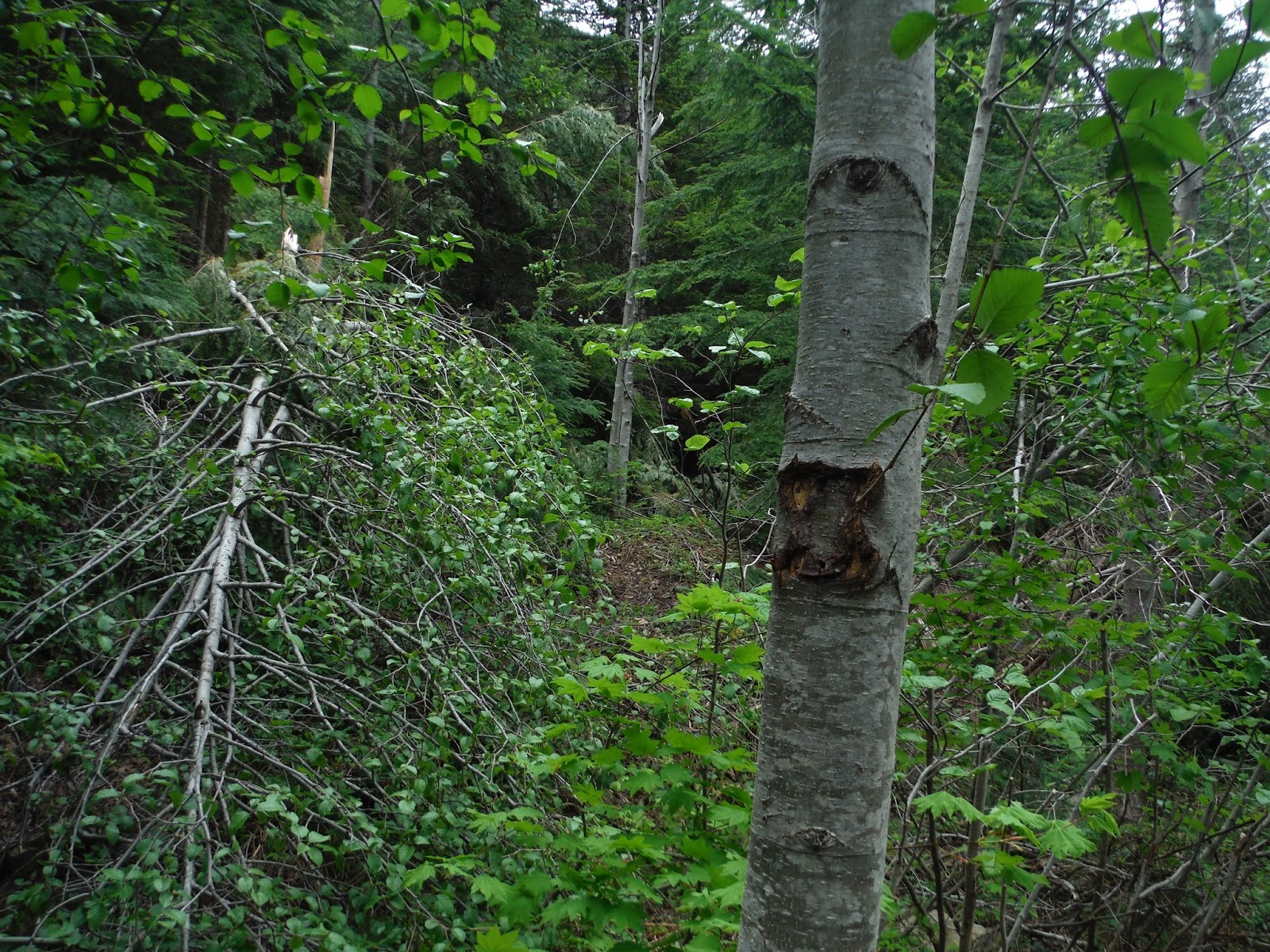
The shortcut sign has been removed but the tree still bares the mark so it is easy to spot.

The old road, from the Pond trail up to the Great Wall trail, has been converted to a trail with a few 'rest stops' along the way.  Stumps have been placed in the center with carved out seats.


This used to be a gully across the road.  Now it's a great dog drink.


This is what the intersection with the Great Wall trail used to look like.  To the left is Change Creek and to the right the Great Wall.  Note the sign on the tree as a reference in the after picture below.


After the conversion it looks like they tried to hide the way to the Great Wall.

Once you pick your way through some tree branches and rubble, there is a converted trail for a short distance before hitting the road.  The road was used to bring in the equipment for the conversion and is now smooth and clear of fallen rocks.

Log + chainsaw = stool

Mt Washington from the Great Wall

Top of the of the little peak on the south end of the Great Wall.

Looking down Mid-Mountain Mountain ridge.  I spotted an orange speck on the ridge that turned out to be a hiker coming up the ridge.  I was going to talk to him about the trail conditions but after he disappeared behind the last rock outcropping he reappeared and then sat down and took a break.  Could it be too difficult to get around?


Wednesday, May 18, 2016

Cedar River Divide 2016-05-18

7.31 miles and 3,016 feet of elevation gain.

Every time I headed up the Change Creek trail and past the turn offs for Hall Point and J's Landing I kept think I should check them out.  Today was the day along with an investigation of the boot path up the ridge to Mid-Mountain Mountain.

We started out at the Hall Creek "trailhead", across the road from the Olallie State Park South Fork Picnic Area.  The connector trail to Hall Point is short and steep.  The point is a rock outcrop with nice views.  Just as we started back down the trail I noticed a faint boot path up the ridge.  We followed it up the ridge to J's Landing.  I almost turned back at the beginning because I missed the path and started across the top of a very steep bank.  After that the trail was easy to follow.

J's Landing is a flat spot on the ridge created at the end of a very old logging road.  On the west side is the connector trail down to the Change Creek Trail and on the east side is the new MMM Ridge Trail that continues up the ridge to the next logging road.  From there we started to scramble up the ridge for a little bit until Blue decided it was too much of a scramble and we turned around.  Back at J's Landing we took the connector trail down to the Change Creek Trail eventually turned around near the pond after the trail closed sign.   
   

Google Maps link

Hall Point - The boys enjoyed the climb up


Looking up the ridge from Hall Point.


J's Landing

 Blue's turnaround point


 Many blows this year, fortunately, they had all been cleared.   

The shortcut trail sign has been removed and the blowdown blocking the trail was not cleared.  The main trail has been cleared so we continued up it.  On the way back we took the shortcut trail and only had a few obstacles that were easy to get around.

We took the Pond Trail up to the road to check it out, didn't see any activity.

Thursday, April 16, 2015

Cedar River Divide Loop 2015-04-16

13.38 miles and 3,853 feet of elevation gain.

The quintessential Cedar River Divide loop hike?  Probably not, but close.  If you skipped the Great Wall and the side trip to Mid-Mountain Mountain, you could include Mt Washington for a total distance of just over 15 miles and around 5,000 feet of elevation gain.  I would call that the quintessential loop day hike.  Maybe someday.

We hiked the loop in a clockwise direction starting at the Hall Creek trailhead and then heading up the Zig-Zag trail.  This was the same as our trip to the Old Fuel Truck.  At the end of the Zig-Zag trail we took the road into the Hall Creek basin rather than continuing up the ridge on NF-9021.

I was glad I had mapped a route on the GPS, there are many old logging roads in this area and none of my maps agreed on the number or location of all the roads.  I'm sure some of the roads we actually saw were not on any of the maps.

A little snow in some places.  A few shady areas had enough snow to slow down our pace but didn't present any problems.

A nice sunny day for a hike.


Google Maps link
  
A little waterfall and pool along the road into the Hall Creek basin.

Somebody loves the snow.

Blue is happy to be out and about.


Blue posses while Sly cools off in the snow.

This is a barricade at the end of the road coming up from Hall Creek to stop vehicles from entering the watershed area.   I think a motorcycle is the only thing that could get this far up the road.

This mountain bike was on the Hall Creek side of the barricade and was partially covered with snow.  I think the chain was missing.  Did the chain brake and it wasn't worth walking the bike the many miles to a trailhead? 

Snack time!

Chester Morse Lake and Mt Rainier

Crazy dog time.

Time to settle down. 

pub 3/24/2016

Friday, March 13, 2015

Cedar River Divide 2015-03-13

14.41 miles and 4,356 feet of elevation gain.

A very long out and back hike mostly on roads, but it was quite and had some nice views. 


Google Maps link

The trail to the base of the old railroad bridge.

Did someone not enunciate properly when they told the sign maker what to put on the sign?  It should read Hall Creek not Hull Creek.

Hall Creek from the bridge.

While crossing the bridge, you can look up at the ridge the trail will ascend.  The trail goes up the side of the ridge and passes by the base of those rocks before attaining the ridge top.


 Did the boulder land there or did the surrounding rock fall away leaving this part intact?
 
 
Two hundred feet farther up the trail traverses through a small enclave in the rocks.
 

 Watch for this split in a dark thicket of fir trees on the shortcut trail by Change Pond.  Don't go to the pond. 

The turn off for Change Peak just before crossing the Great Wall.

Not much tree cover from the sun, had to wear the floppy hat.
 
On top of the divide looking down to Chester Morse Lake and the No Trespassing sign for the Cedar River Watershed. 
 
Chester Morse Lake and Masonry Pool (the little skinny part)

And, of course, a view of Mt Rainier or the native name Ti'Swaq if you prefer. 


Which is the best picture or Blue?

 
 Mid-Mountain Mountain from the start of the spur road.


 Mt Washington on the left right behind the Great Wall, Change Peak on the left.

Looking down the ridge from Mid-Mountain Mountain.