On the way to Texas we drove through "Rim Country" and stayed at the Upper Tonto Creek campground. Here are a couple of links from the Payson, AZ website on Rim Country and the Mogollon Rim.
This is beautiful country and the drive from Payson to the campground had some impressive views of the rim. This is an area I would like to visit again and spend several days exploring.
We did a counterclockwise loop with trails that started and stopped at the campground. When we arrived, the campground host said they had snow a couple of days ago and that it was 21 degrees that morning. On the hike, it was cool in the shade and warm in the sun. I planned to take the trail up to Promontory Butte but after arriving at the trail it was too late in the day for a rocky 3/4 of mile trail with 1,100 feet of elevation gain. We'll have to do this one next time.
Start: 12:57 PM
Horton Spring: 3:30 PM
Finish: 4:55 PM
Miles: 9.2
Elev Gain: 1,211 Ft
Elev Profile
The orange colored line is the approximate route of the Promontory Butte trail that goes to the rim.
View Horton Spring AZ 2014-04-03 in a larger map
The trail was rocky up to the intersection with the Promontory Butte trail.
At the Promontory Butte trail.
After the Promontory Butte trail, the trail tread was much nicer.
Blue removing a branch from the creek just down stream from the spring.
No Gila Monsters or Rattlesnakes today, just a lone trout in the pond by the spring.
Horton Spring, one of many springs along the rim wall.
The Horton Creek trail is an old very rocky road. In some places an alternate trail has been built.
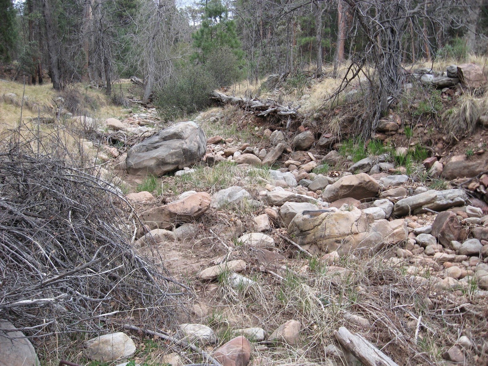
One minute the creek is full of water and a little later it is dry. The trail wasn't always next to the creek so I am not sure where it went underground. Other than one small pond it was dry all the rest of the way to the campground.


No comments:
Post a Comment