The original goal for today was to head south out of Easton to Tacoma Pass where the Pacific Crest Trail intersects with NF-41. Looked like a good road on the map. Unfortunately that didn't work out.
So it was on to Easton Ridge. The beginning of this trail gives you quite a workout with 1,000 feet of elevation gain per mile for about 1.7 miles. There is a road that goes up the other end of the ridge and I set that as the goal for the hike. This was not a day for making goals.

Tacoma Pass Attempt
After going through a pond sized pothole, the nice gravel road turned into a trail then back to a nice road for another quarter of a mile.
And then ended at the bridge to no where.

The bridge just sits up in the air. The creek has moved to the other side of the valley.

A detour road was built that drops down to a ford. It didn't look deep and for a second I thought about trying to drive across.


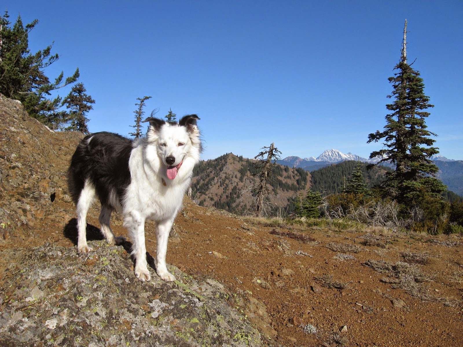
Easton Ridge
The waterfall near the trail head.

Para Point on Domerie Ridge

Mount Baldy on Domerie Ridge

Mount Rainier just visible

I haven't seen an anthill in a very long time.


The high point along the trail. According to the map, the high point for the ridge was off to the side.

Glacier Peak in the distance.
End of the trail for us. If you are sure footed, it looks the trail continues along the these rocks.

No comments:
Post a Comment