Every time I headed up the Change Creek trail and past the turn offs for Hall Point and J's Landing I kept think I should check them out. Today was the day along with an investigation of the boot path up the ridge to Mid-Mountain Mountain.
We started out at the Hall Creek "trailhead", across the road from the Olallie State Park South Fork Picnic Area. The connector trail to Hall Point is short and steep. The point is a rock outcrop with nice views. Just as we started back down the trail I noticed a faint boot path up the ridge. We followed it up the ridge to J's Landing. I almost turned back at the beginning because I missed the path and started across the top of a very steep bank. After that the trail was easy to follow.
J's Landing is a flat spot on the ridge created at the end of a very old logging road. On the west side is the connector trail down to the Change Creek Trail and on the east side is the new MMM Ridge Trail that continues up the ridge to the next logging road. From there we started to scramble up the ridge for a little bit until Blue decided it was too much of a scramble and we turned around. Back at J's Landing we took the connector trail down to the Change Creek Trail eventually turned around near the pond after the trail closed sign.

Google Maps link
Hall Point - The boys enjoyed the climb up


Looking up the ridge from Hall Point.

J's Landing

Blue's turnaround point


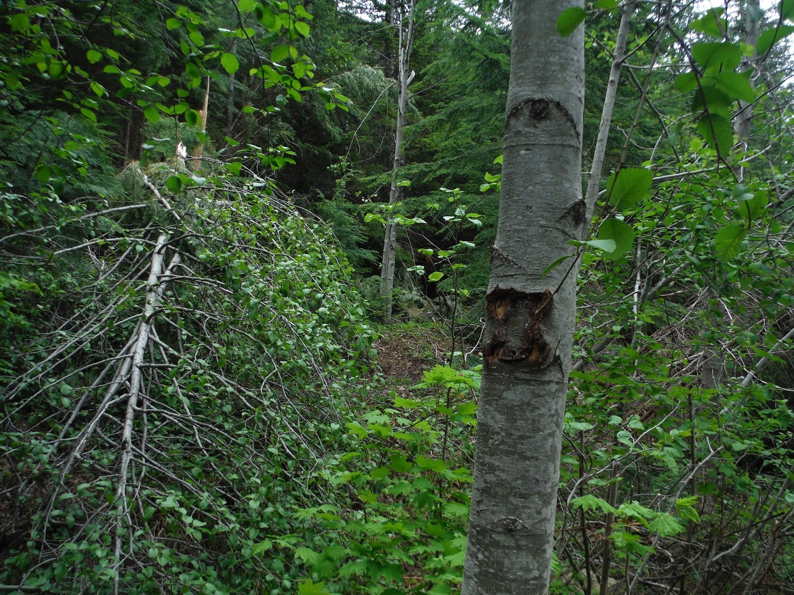
Many blows this year, fortunately, they had all been cleared.

The shortcut trail sign has been removed and the blowdown blocking the trail was not cleared. The main trail has been cleared so we continued up it. On the way back we took the shortcut trail and only had a few obstacles that were easy to get around.
We took the Pond Trail up to the road to check it out, didn't see any activity.

No comments:
Post a Comment